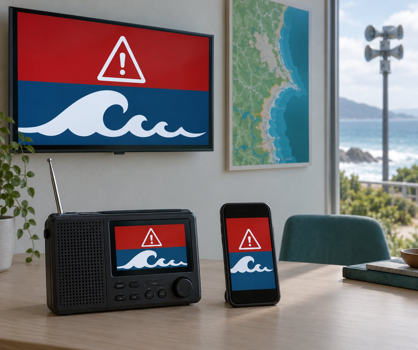
Most tsunami alerts are not guesses. A national warning centre issues one only after seismic instruments locate a qualifying undersea earthquake and ocean sensors confirm a wave was actually generated. The same alert then travels to your phone, your local radio station and your city’s siren within minutes.
The chain is fast, but it is not one machine making one decision. Scientists, automated algorithms and duty analysts each play a part, and every country runs its own version of the system. Here’s what sits between the seafloor rupture and the evacuation order on your street.
Table of Contents
- How Tsunami Warnings Are Issued from Detection to Public Alert
- What Tools Detect a Tsunami Before It Reaches the Coast?
- Seismic networks locate the earthquake first
- DART buoys confirm the wave exists
- Tide gauges measure what actually reaches shore
- Satellites and models fill the gaps
- What Triggers a Tsunami Warning?
- How Do Scientists Confirm and Model the Threat?
- How Does an Official Tsunami Warning Reach the Public?
- What Is the Difference Between a Tsunami Warning and an Evacuation Order?
- What Should People Do When a Tsunami Warning Is Issued?
- How Are Tsunami Warnings Updated or Cancelled?
- Frequently Asked Questions
- Can an earthquake warning tell me a tsunami is coming?
- How quickly are tsunami warnings issued after an earthquake?
- Why does the sea pull back before a tsunami arrives?
- Are smartphone tsunami alerts available everywhere?
- How far inland should I go to escape a tsunami?
- What to Do First
How Tsunami Warnings Are Issued from Detection to Public Alert
How tsunami warnings are issued comes down to five stages: a seismic network locates the earthquake, deep-ocean and coastal instruments confirm a wave exists, models forecast where and when it arrives, a duty analyst assigns an alert level, and that level is pushed out through official channels. Detection is only the first step, and every country runs its own protocol on top of the shared science.
So when your phone buzzes at 1 a.m., that message has usually travelled more than a dozen hands and several satellites to reach you. The rest of this guide walks the whole route.
What Tools Detect a Tsunami Before It Reaches the Coast?
No single instrument can do the job, which is why the system leans on five types of equipment with different strengths and different blind spots.
Seismic networks locate the earthquake first
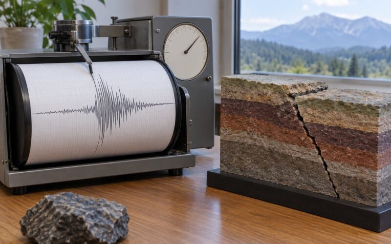
Seismometers buried across continents record the ground shaking and, within seconds, an algorithm estimates the magnitude, the location of the epicentre and the depth of the hypocentre. What it cannot tell you is whether the seafloor moved enough to push a wave of water toward a coastline.
DART buoys confirm the wave exists
The Deep-Ocean Assessment and Reporting Tsunamis network fixes pressure sensors to the seabed, often thousands of metres down, where a passing tsunami raises the water column above them by a few centimetres. Each station reads that change, sends it by satellite to land, and confirms in hard numbers that a tsunami has been generated rather than merely suspected.
Tide gauges measure what actually reaches shore
Coastal tide gauges are the last word on whether a wave arrived and how high it ran. They are also the least useful for distant events, because the warning has to be issued before the water gets there.
Satellites and models fill the gaps
Radar altimeters aboard satellites can spot the open-ocean wave far from any coast, and numerical models translate depth data into arrival times. Both are slower than the seismic path, so both serve as confirmation rather than as the first alarm.
The blind spot of the whole system is speed at the near-source end. Instruments far offshore excel when a wave has hours to cross an ocean basin, and add little when the coast is twenty kilometres from the fault.
What Triggers a Tsunami Warning?
Common triggers include a large undersea earthquake, unusual sea-level change detected by a buoy, a volcanic eruption, or a landslide dumping material into the ocean. The last two are rarer but produce genuine warnings, which is why magnitude alone never decides the outcome.
| Event | Initial assessment | Warning potential |
|---|---|---|
| Shallow undersea earthquake | Magnitude, depth and location trigger an automatic review | High; usually the source of most tsunami warnings |
| Deep or inland earthquake | Shaking is strong but the seafloor rarely displaces | Low; a message may still be sent for awareness |
| Volcanic eruption or collapse | Analysts watch for a water entry or a collapse signal | Moderate; warnings have been issued for both |
| Seabed landslide or ice shelf break | Detected by seismic network and reviewed case by case | Moderate to high depending on volume |
| Measured sea-level anomaly | Buoy or tide gauge confirms a wave already exists | Confirms rather than initiates a warning |
A magnitude 7.0 event far offshore and a magnitude 7.0 event under a city produce completely different coastal outcomes. Vertical displacement of the seafloor, the shape of the source fault and the local bathymetry decide the threat, and those numbers do not exist yet at the moment of detection.
How Do Scientists Confirm and Model the Threat?
Once the earthquake is located, an automated earthquake early warning message pushes preliminary data to the warning centre. A duty analyst then checks the location, depth and magnitude against prespecified criteria that decide whether a message is warranted at all.
Confirmation usually runs through DART bottom-pressure data and any tide gauge report that has already come in. Each measurement is compared against model output, and analysts look for agreement between predicted amplitude and observed amplitude. When the numbers match, the wave is treated as verified.
From there the models do the travel-time work. Wave propagation software uses bathymetry and coastal topography to estimate arrival times for specific shoreline segments, along with run-up heights. That output feeds an inundation model showing which zones flood at which water levels, which is what produces the polygon on your local hazard map.
Every one of those numbers carries uncertainty. Arrival times shift as measurements improve, and run-up estimates describe the shoreline, not the water depth at any specific beach. A warning message saying a three-metre wave means three metres somewhere along that stretch of coast.
How Does an Official Tsunami Warning Reach the Public?
Only the responsible national authority issues the alert. In the United States that work sits with the Pacific Tsunami Warning Center and the National Weather Service centres covering Alaska, the West Coast and the Caribbean, operating under NOAA. Other countries run national systems: Japan’s Meteorological Agency, the Indian Ocean Tsunami Warning Centre, Italy’s Protezione Civile, New Zealand’s national warning system. Many of them coordinate through the UNESCO Intergovernmental Oceanographic Commission, but the public message always comes from a national body.
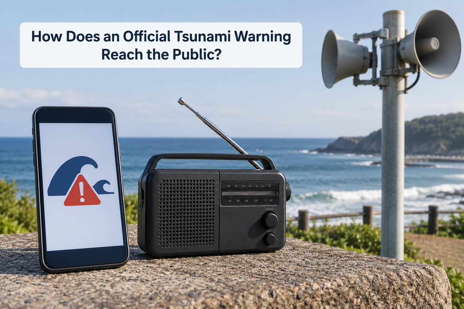
From the warning centre, the message travels along several routes at once.
- Wireless Emergency Alerts are cell broadcasts that reach any compatible handset in the affected polygon with no app and no data connection, as long as it has signal.
- Coastal sirens cover the open shoreline and do not depend on a phone at all, though many urban systems are out of service at any given time.
- NOAA Weather Radio and national broadcast networks carry the full written bulletin, including the estimated arrival times for named coastal areas.
- Weather apps and agency websites post the same bulletin and add arrival-time lists.
- Official social media accounts reach people who follow agencies rather than authorities.
Local authorities act on the national alert rather than inventing one. A city can close beach parking, shut an on-ramp, order schools to dismiss early or tell residents to leave low ground, and those local orders arrive by text, by police door-to-door or by road signs.
News reports and most apps repeat the official message; they do not originate it. Anyone giving you wave heights or arrival times without naming the issuing agency is guessing.
What Is the Difference Between a Tsunami Warning and an Evacuation Order?
The terms get mixed up constantly, and the confusion is worse because labels differ by country. In the United States the escalation ladder runs advisory, watch, warning, and evacuation is a separate decision made by local government.
| Message | What it means | What to do |
|---|---|---|
| Tsunami advisory | Strong currents and dangerous conditions, wave not yet verified | Stay off the beach and out of the water |
| Tsunami watch | A tsunami is possible but not confirmed | Prepare to evacuate and monitor official channels |
| Tsunami warning | A tsunami is confirmed and may be imminent | Evacuate now using local routes |
| Evacuation order | Local officials require you to leave the hazard zone | Leave immediately and follow official directions |
Two things trip people up. First, a warning can arrive before any evacuation order, and you should not wait for the second one if the first tells you to move. Second, an order can be issued while the shoreline still looks completely normal. Water may not rise for an hour after the order goes out, and the first wave can arrive before anyone notices anything unusual at all.
Other countries grade the threat differently. Japan issues three levels of tsunami advisory based on expected wave height, which lets residents judge severity rather than just urgency. Italy’s SiAM system uses two colours, and each nation’s wording carries its own meaning. Always read the message you actually receive rather than assuming it matches what an American alert says.
What Should People Do When a Tsunami Warning Is Issued?
Move first, gather later. The order of operations matters more than the packing list.
- Leave the hazard zone on foot if you can. Gridlock is what turns a ten-minute walk into an hour, so go inland or uphill immediately using your official evacuation route.
- Go to high ground or an evacuation shelter, not just inland. Local maps show which zones flood at which water level; a location a few blocks back may sit in the run-up path.
- Turn your back on the shoreline. Do not go to watch the water. People are killed every decade while filming or photographing an incoming wave.
- Help anyone who cannot move quickly. Children, older adults, people with mobility limits and anyone in a hospital or care home need help far earlier than the rest of the street.
- Take your go-bag if it is within reach. Water, medication, documents, a change of clothes, a phone charger and a battery radio. Do not wait for it if getting it delays you.
- Keep communications open and stay put once you are safe. Battery banks and text messages beat calls. Follow the agency accounts and local radio rather than reposting rumours.
There are also five natural signs that a tsunami may be arriving, and none of them require a device. The sea may pull back far more than a low tide, leaving exposed seafloor. A wall of water may appear on the horizon. You may hear a loud roar like a train or a jet engine. Water at an unusual angle, or a sudden rise in a river mouth that looks like flooding, are both warnings. Unusual animal behaviour is often claimed as a sign, but that evidence is anecdotal rather than established science.
If you feel a strong earthquake near the coast, treat it as a tsunami warning on its own. In 1964, four people who thought the shaking was over walked back toward the beach and were killed by the first wave. Do not wait for an alert that may never come.
How Are Tsunami Warnings Updated or Cancelled?
A tsunami message is a living document. New buoy readings, a revised magnitude estimate, a field report from a local official or a model rerun can strengthen a warning, shorten it, move its estimated arrival times or redirect it to different stretches of coast. Watching the bulletin change from advisory to warning, then back to advisory, then to cancellation is normal operation and not a sign of confusion.
Cancellation comes from the same authority that issued the message, and only after the wave has passed or the threat is ruled out. Because a tsunami arrives as a series of waves rather than a single wall, the danger can persist for many wave cycles after the first one has passed, which is why the advisory often stays up for hours.
One coastline can be cleared while another remains under warning, since each segment has its own arrival time and exposure. Getting an all-clear for your beach is not permission to drive straight back and look at the water. Wait for the official message naming your area, then return.
Frequently Asked Questions
Can an earthquake warning tell me a tsunami is coming?
No. An earthquake alert reports shaking detected by the seismic network, and most earthquakes never move the seafloor enough to generate a tsunami. The message you get about an earthquake contains no wave information at all. That is why the pipeline behind how tsunami warnings are issued has a separate confirmation stage using deep-ocean pressure sensors, and why coastal guidance treats a strong near-shore quake as a reason to move on its own, with no alert required.
How quickly are tsunami warnings issued after an earthquake?
A message based on seismic data alone can go out within about ten minutes of a qualifying earthquake. Once sea-level instruments confirm a wave exists, follow-up bulletins arrive as the data improves, sometimes every few minutes. The clock is much tighter for nearby earthquakes, where the wave may reach the coast before a full analysis is finished, and far more forgiving for events that cross an ocean basin.
Why does the sea pull back before a tsunami arrives?
A tsunami is a raised body of water moving across the ocean, and the trough behind it reaches shore first. That drawback exposes seafloor that is normally underwater, which is the single most reliable natural warning sign. Retreat the water further than a very low tide, exposed bottom, or a sharp roar offshore, and you should leave immediately without waiting for an official message.
Are smartphone tsunami alerts available everywhere?
In the United States, Wireless Emergency Alerts are cell broadcasts that reach compatible phones in the warning area without any app or data service, though they do need cellular signal. Coverage is uneven internationally: some countries rely mainly on sirens and broadcast radio, and some phone alerts only cover national or regional boundaries rather than specific coastal zones.
How far inland should I go to escape a tsunami?
There is no single safe distance, because run-up depends on local geography and a distant earthquake can produce very different wave heights along the same coastline. Your local tsunami hazard map is the authoritative source: it shows how far inland water can reach at various wave levels. If you have no map, move well above sea level and beyond the view of the water rather than guessing at a mile count.
What to Do First
If a tsunami warning reaches you, move out of low coastal areas immediately and follow your local official instructions, then monitor verified channels such as your national weather service, the local emergency management agency and NOAA Weather Radio. Waiting to see the water is the wrong move: the first wave can arrive while the shoreline still looks normal.
Before it happens, find your tsunami hazard map today, register for your area’s emergency alerts, and agree with your neighbours who helps an older neighbour get out. The warning system only buys you minutes to a few hours. What you do with them is the part you control.
Sources: NOAA and the National Weather Service tsunami programme, the Pacific Tsunami Warning Center, the Japan Meteorological Agency, and Italy’s Protezione Civile.